
Professional Real Estate Media & Aerial Imaging


Precision ground-to-air property data for Northeast Ohio brokers, contractors, and field adjusters.
Real Estate Media Packages
The Ground-to-Air Essential | Baseline Standard Listing Coverage
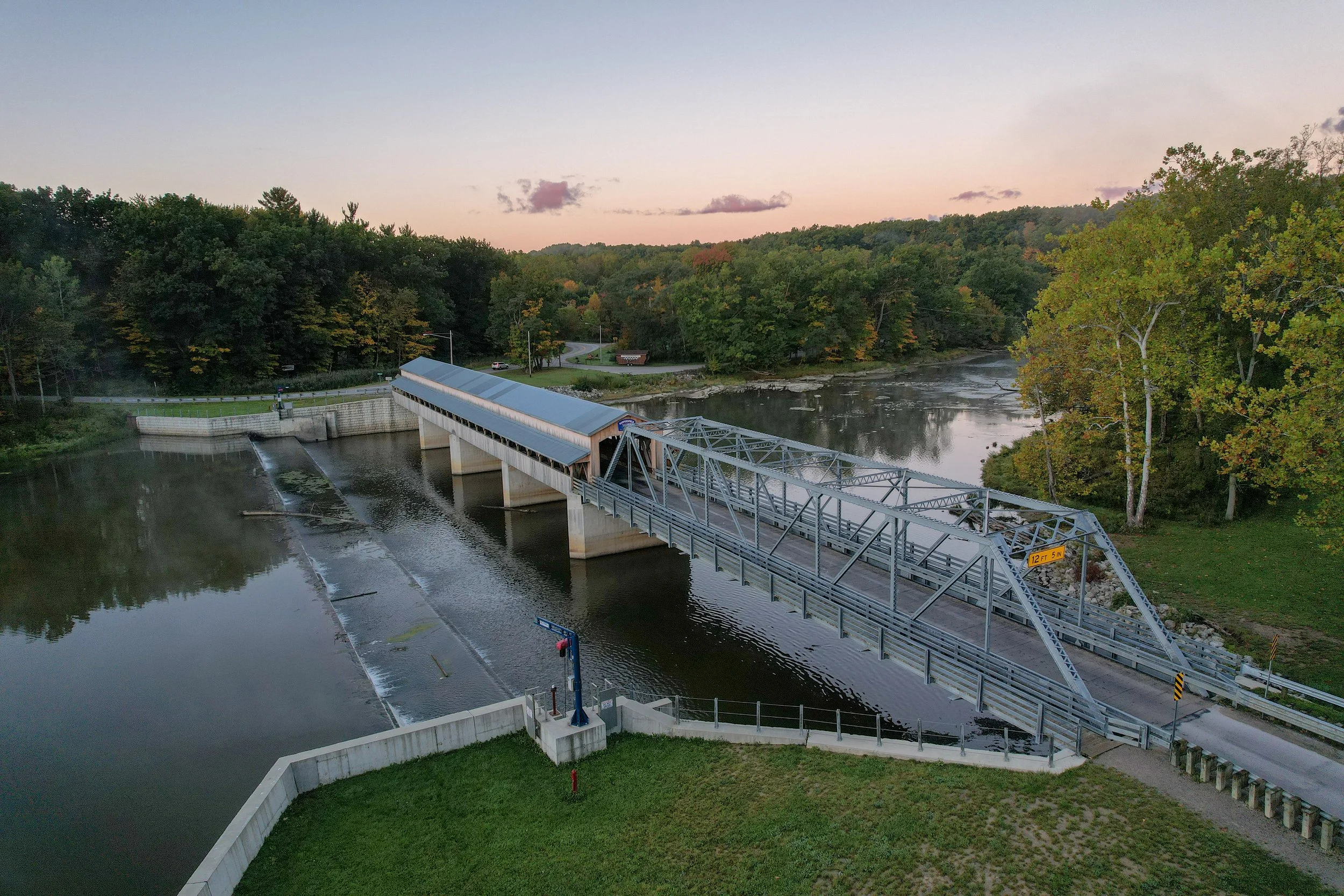
What's Included: 25–30 high-resolution interior and exterior ground-level photos paired with 5 premium, high-altitude commercial drone shots highlighting entire parcel boundaries, neighboring context, and roof conditions.
Turnaround: Guaranteed 24-to-48 hour digital delivery.
The Showcase Plus | Premium & High-End Property Portfolio
What's Included: Full comprehensive ground-level interior walkthrough coverage, precision exterior detail shots, 10+ high-resolution aerial drone captures, and a fully stabilized, cinematic 4K aerial video walk-around. Includes advanced sky replacement and premium lighting enhancement editing.
Turnaround: 48-hour priority delivery.
Commercial Inspection & Property Data
High-Res Structural Drone Scouting | Contractor & Insurance Claim Support
What's Included: Complete high-density high-resolution imagery grids of residential and light commercial roof slopes. Detailed close-up captures of flashing, gutters, chimneys, and structural assets. Delivered as organized, raw, or lightly edited data dumps optimized for immediate field adjuster review.
Billing Rate: Structured flat baseline per structure or custom hourly volume packages.



Natural Lighting
Your goal should be to make it feel right for right now.

Groups
Be clear, be confident, and don’t overthink it.